Post Quake signage
Post Quake signage
Post Quake signage
Post Quake signage
Post Quake signage
Post Quake signage

Post Quake signage
Post Quake signage
Post Quake signage
Post Quake signage
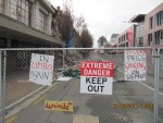
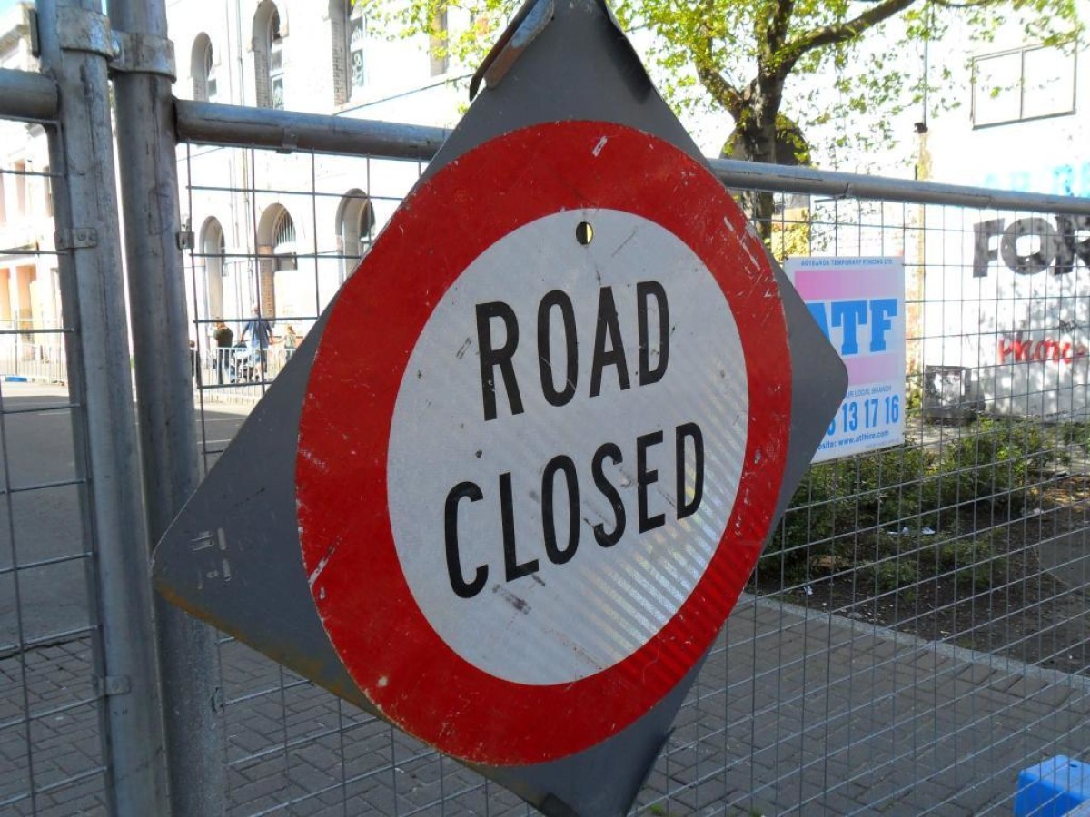
Bedford Row
19 October 2010
Road Closed sign after the September 2010 earthquake.
Area: Central City / Central Christchurch - South
Source: Kete Christchurch
Source: View in canterburystories.nz
Reference ID: CCL-Kete-2651
Uploaded by: Christchurch City Libraries
Copyright status: In copyright
This material has been provided for private study purposes (such as school projects, family and local history research) and any published reproduction (print or electronic) may infringe copyright law. Please contact Christchurch City Libraries if you have any questions relating to the use of this material or wish to order a hi resolution copy for commercial purposes. It is the responsibility of the user to obtain clearance from the copyright holder.
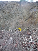
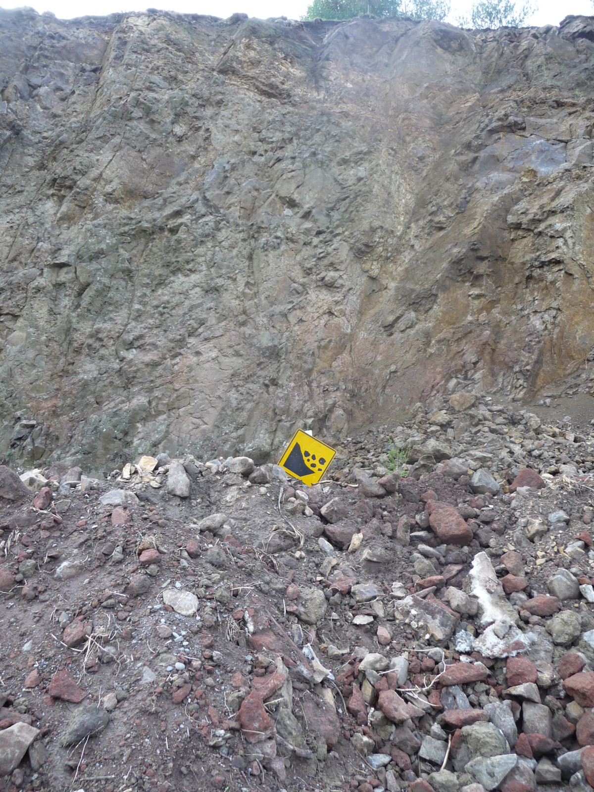
Lyttelton - After The Earthquake
20 March 2011
View of a rockfall onto a road in the Lyttelton area following the February 2011 earthquake.
Area: South East / Lyttelton
Source: Kete Christchurch
Reference ID: CCL-Kete-4060
Uploaded by: Christchurch City Libraries
Copyright status: In copyright
This material has been provided for private study purposes (such as school projects, family and local history research) and any published reproduction (print or electronic) may infringe copyright law. Please contact Christchurch City Libraries if you have any questions relating to the use of this material or wish to order a hi resolution copy for commercial purposes. It is the responsibility of the user to obtain clearance from the copyright holder.
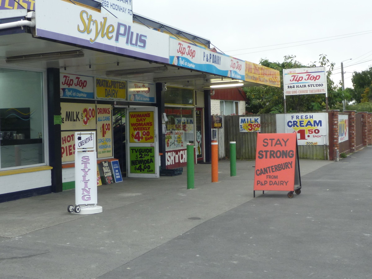
Stay strong Canterbury
4 March 2011
Suresh Patel, owner of P & P Dairy, 262 Hoon Hay Road opened his shop early on the morning of the 4th September 2010 earthquake and gave away milk, water and batteries to people who had no access to cash as the power was off. His sign, encouraging local people to stay strong, appeared on the footpath after the 22nd February 2011 earthquake and stayed there for several months.
Creator: Jane R
Area: South West / Hoon Hay
Contributor: Jane R
Source: View in canterburystories.nz
Reference ID: CCL-DW-71211
Uploaded by: Jane R
Copyright status: In copyright
This work is licensed under a
Creative Commons Attribution-Noncommercial-Share Alike 4.0 International License

This material has been provided for private study purposes (such as school projects, family and local history research) and any published reproduction (print or electronic) may infringe copyright law. Please contact Christchurch City Libraries if you have any questions relating to the use of this material or wish to order a hi resolution copy for commercial purposes. It is the responsibility of the user to obtain clearance from the copyright holder.
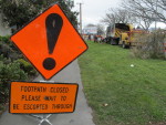
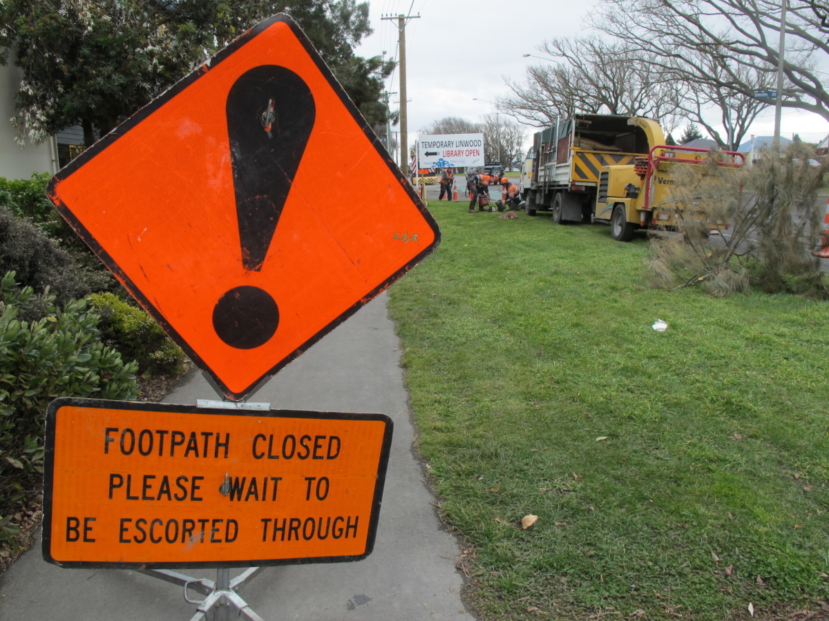
Closed footpath Linwood Avenue 12 August 2011
12 Augusts 2011
'Footpath closed' sign on Linwood Avenue near Smith Street corner. Workmen can be seen in background.
Creator: DoRo
Area: East / Linwood
Contributor: DoRo
Source: Kete Christchurch
Source: View in canterburystories.nz
Reference ID: CCL-Kete-14210
Uploaded by: Christchurch City Libraries
Copyright status: In copyright
This work is licensed under a
Creative Commons Attribution-Noncommercial-No Derivatives 3.0 New Zealand License

This material has been provided for private study purposes (such as school projects, family and local history research) and any published reproduction (print or electronic) may infringe copyright law. Please contact Christchurch City Libraries if you have any questions relating to the use of this material or wish to order a hi resolution copy for commercial purposes. It is the responsibility of the user to obtain clearance from the copyright holder.
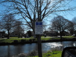
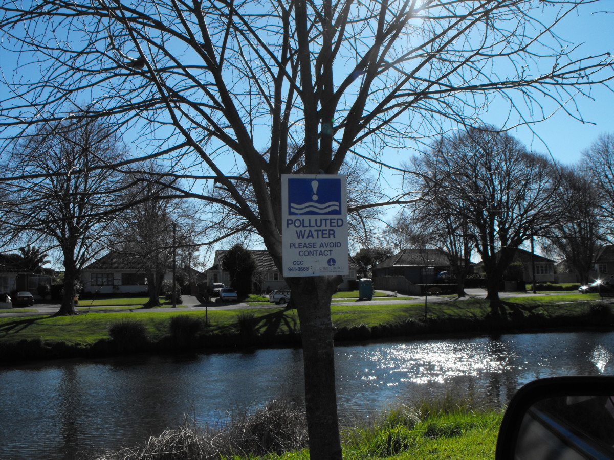
Postquake Portaloos in Avonside
September 2010
Polluted Water sign
Area: East / Avonside
Source: Kete Christchurch
Reference ID: CCL-Kete-2626
Uploaded by: Christchurch City Libraries
Copyright status: In copyright
This material has been provided for private study purposes (such as school projects, family and local history research) and any published reproduction (print or electronic) may infringe copyright law. Please contact Christchurch City Libraries if you have any questions relating to the use of this material or wish to order a hi resolution copy for commercial purposes. It is the responsibility of the user to obtain clearance from the copyright holder.
Gloucester Street
17 July 2012
Area: Central City / Central Christchurch - West
Source: Kete Christchurch
Source: View in canterburystories.nz
Reference ID: CCL-Kete-24759
Uploaded by: Christchurch City Libraries
This material has been provided for private study purposes (such as school projects, family and local history research) and any published reproduction (print or electronic) may infringe copyright law. Please contact Christchurch City Libraries if you have any questions relating to the use of this material or wish to order a hi resolution copy for commercial purposes. It is the responsibility of the user to obtain clearance from the copyright holder.
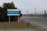
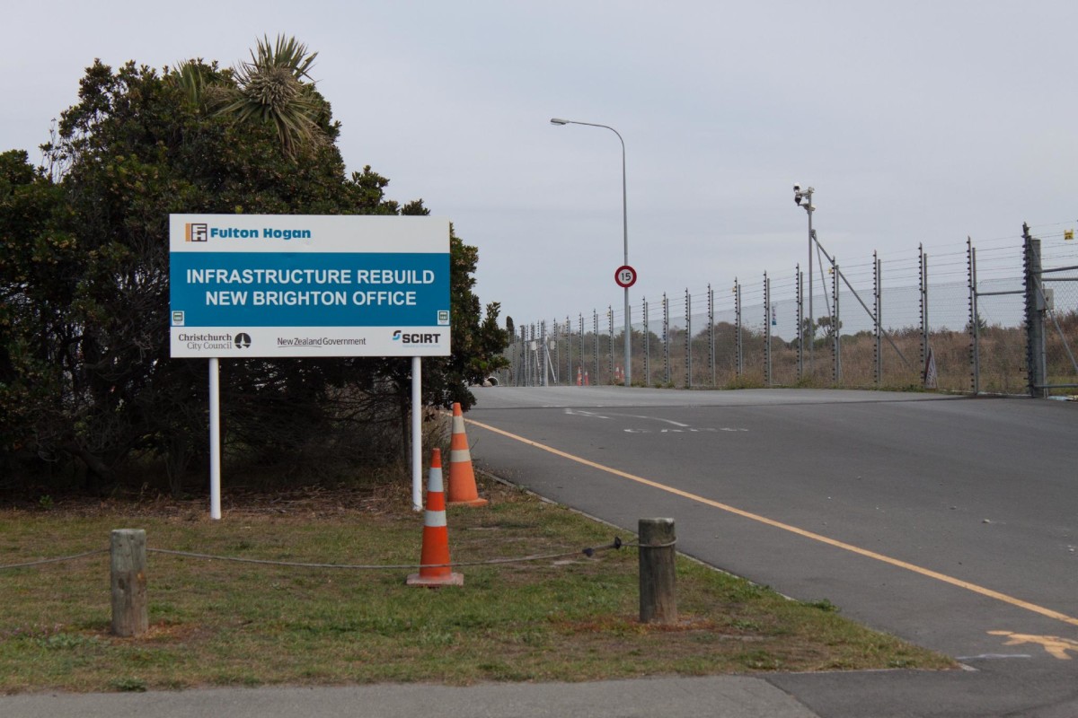
The New Brighton Fulton Hogan compound, Union Street
Friday, 6 May 2016
Sign at the entrance to the New Brighton Fulton Hogan compound on Union Street next to the Withells Island Reserve.
Creator: Rachel Pugh
Area: East / New Brighton
Source: The Edge of the East project was a collaboration in 2016 between Christchurch City Libraries and the University of Canterbury, School of Fine Arts to create a documentary photographic record of the people and the physical and social environment of the s
Source: View in canterburystories.nz
Related: The Edge of the East 2016.
Reference ID: CCL-EE2016-RP-IMG-9133
Uploaded by: Christchurch City Libraries
Copyright status: In copyright
Copyright Rachel Pugh
Reuse license: Contact me
Material in copyright; permission for reuse must be sought from the creator of the photographs, Rachel Pugh.
This material has been provided for private study purposes (such as school projects, family and local history research) and any published reproduction (print or electronic) may infringe copyright law. Please contact Christchurch City Libraries if you have any questions relating to the use of this material or wish to order a hi resolution copy for commercial purposes. It is the responsibility of the user to obtain clearance from the copyright holder.
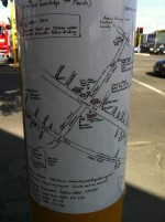
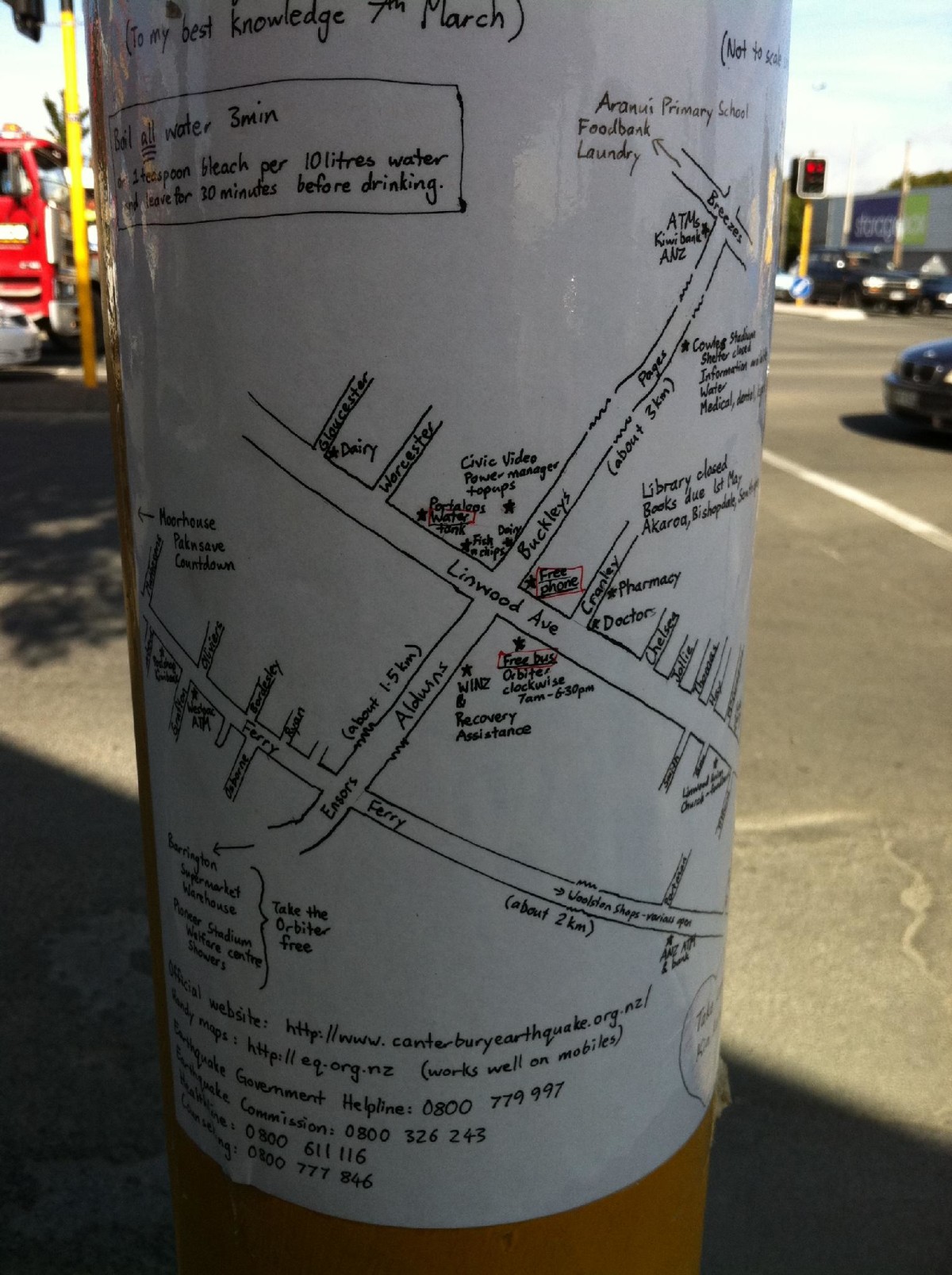
Vital post-quake info on a light post
25 March 2011
Information about local resources and essential information, including contact phone numbers with a hand drawn map, photocopied and laminated and stuck to a traffic light pole on the northeast corner of the Linwood Ave Aldwins Road intersection. In the first days following the earthquake when Linwood was still without power this was the best way of getting information to people. Creator unknown...but awesome.
Creator: Moata Tamaira
Area: East / Linwood
Source: Kete Christchurch
Source: View in canterburystories.nz
Reference ID: CCL-Kete-4230
Uploaded by: Christchurch City Libraries
Copyright status: In copyright
This material has been provided for private study purposes (such as school projects, family and local history research) and any published reproduction (print or electronic) may infringe copyright law. Please contact Christchurch City Libraries if you have any questions relating to the use of this material or wish to order a hi resolution copy for commercial purposes. It is the responsibility of the user to obtain clearance from the copyright holder.
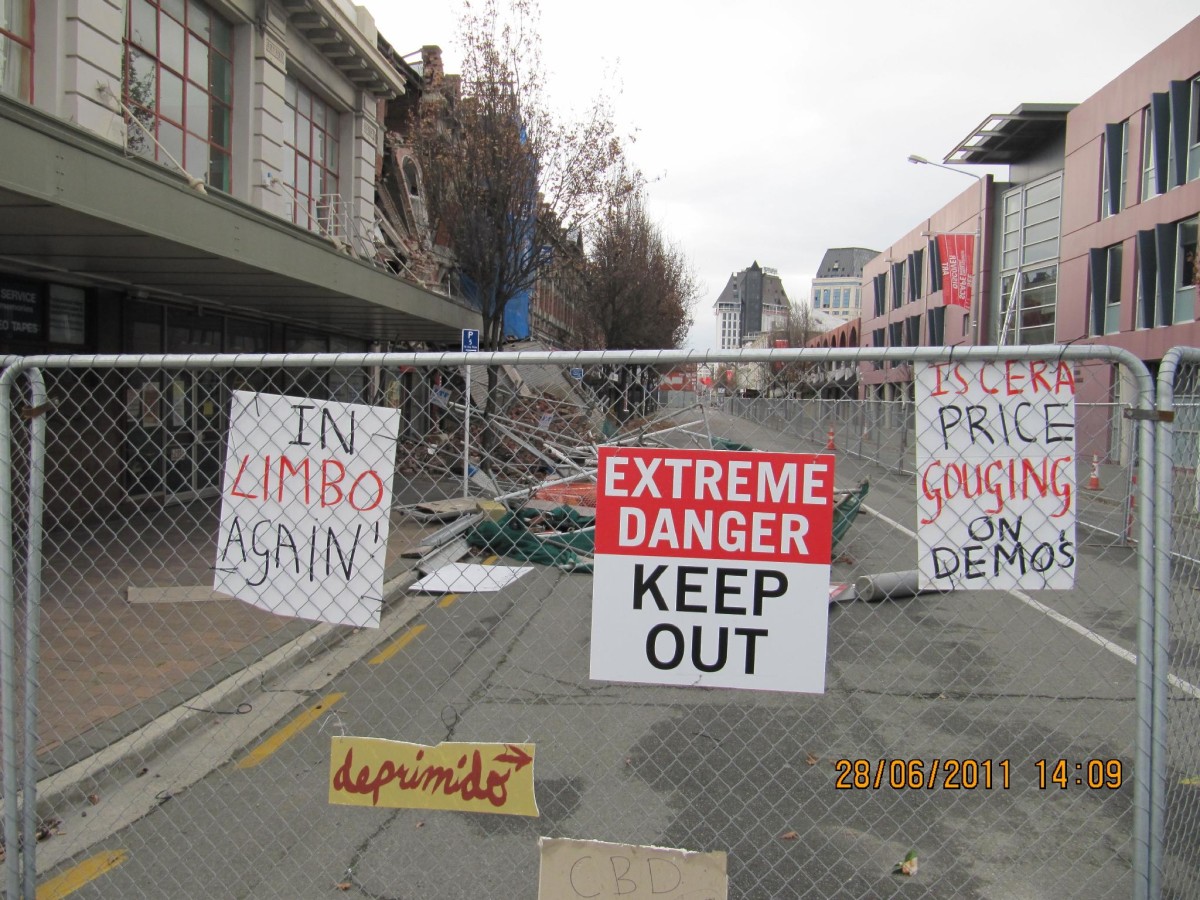
High Street
26 June 2011
Area: Central City / Central Christchurch - Southeast
Source: Kete Christchurch
Source: View in canterburystories.nz
Reference ID: CCL-Kete-4813
Uploaded by: Christchurch City Libraries
This material has been provided for private study purposes (such as school projects, family and local history research) and any published reproduction (print or electronic) may infringe copyright law. Please contact Christchurch City Libraries if you have any questions relating to the use of this material or wish to order a hi resolution copy for commercial purposes. It is the responsibility of the user to obtain clearance from the copyright holder.
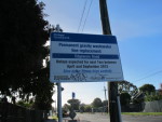
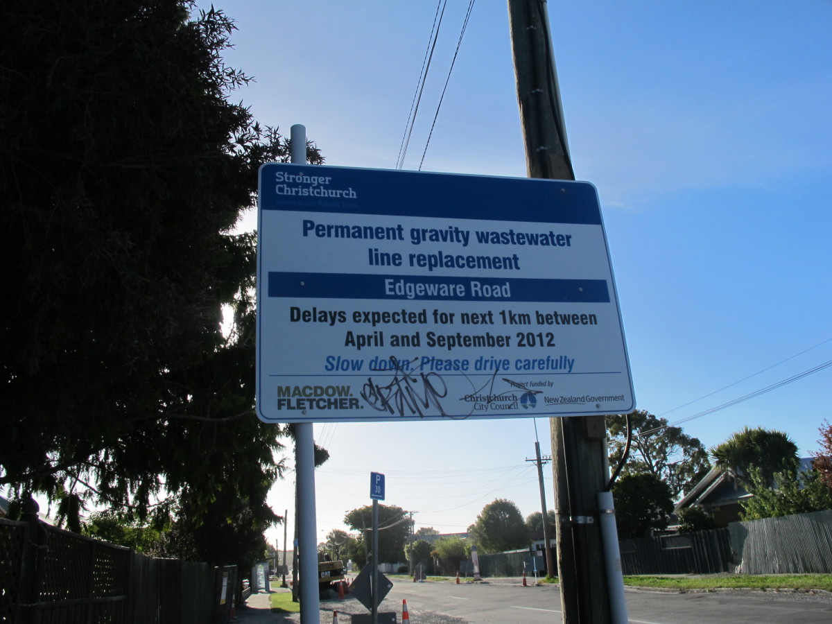
Edgeware Road
26 January 2013
Sign for 'Permanent gravity wastewater line replacement' along Edgeware Road.
Area: North / Edgeware
Source: View in canterburystories.nz
Reference ID: CCL-FlKr-8424167481
Uploaded by: Christchurch City Libraries
Copyright status: In copyright
This work is licensed under a
Creative Commons Attribution-Noncommercial-Share Alike 4.0 International License

This material has been provided for private study purposes (such as school projects, family and local history research) and any published reproduction (print or electronic) may infringe copyright law. Please contact Christchurch City Libraries if you have any questions relating to the use of this material or wish to order a hi resolution copy for commercial purposes. It is the responsibility of the user to obtain clearance from the copyright holder.
Comments
Add a commentMore from the Post Quake signage album
