View down Worcester Street to Cathedral Square
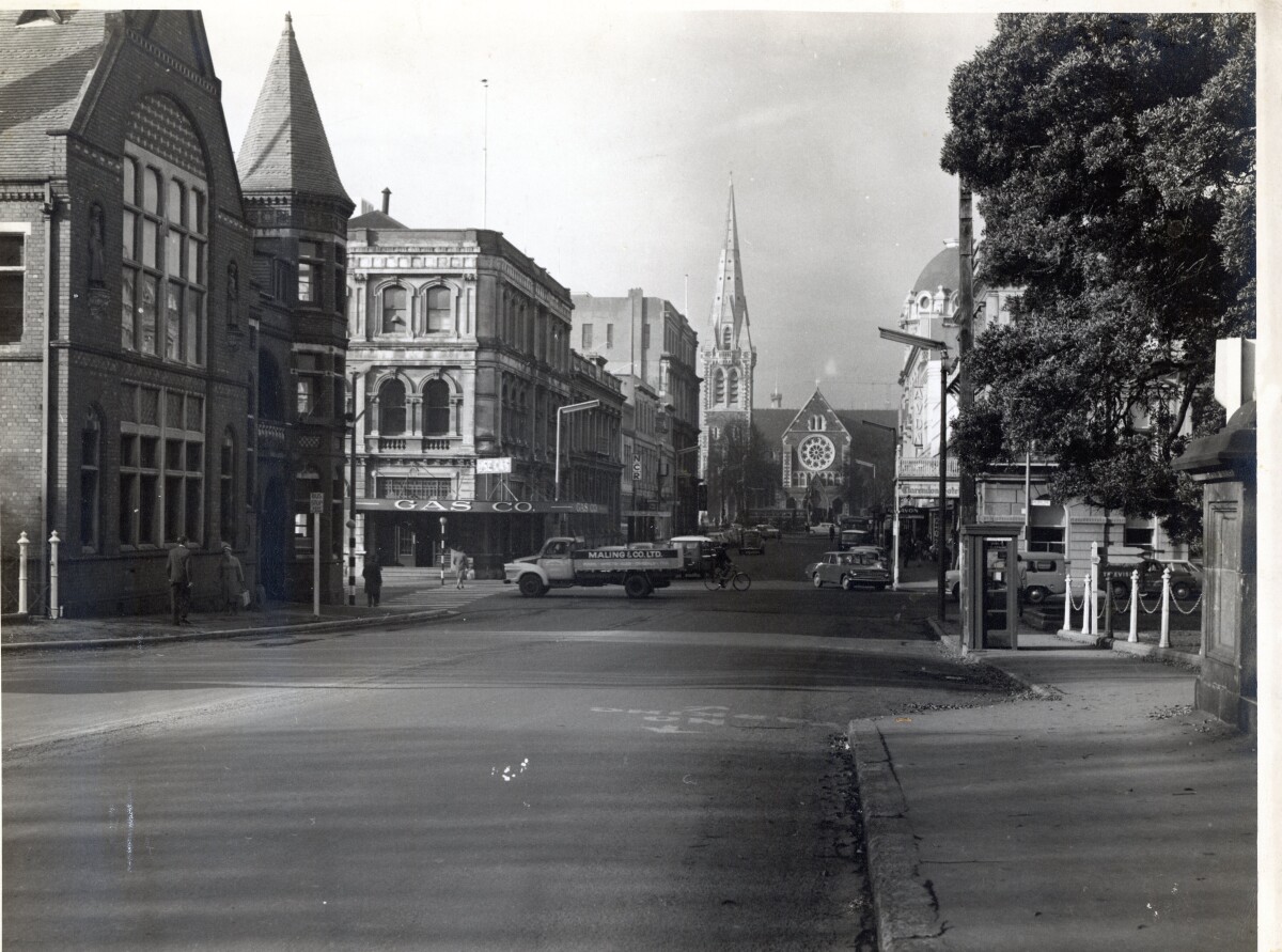
View down Worcester Street to Cathedral Square
A view looking east down Worcester Street, towards the Square and ChristChurch Cathedral. Prominent buildings and business include the former Municipal Chambers building, the Christchurch Gas, Coal and Coke Company building, National Cash Register Company Ltd, the AMP building, Clarendon Hotel, Avon Theatre and dome of the Regent Theatre. A Maling & Co delivery truck is travelling North along Oxford Terrace.
Contributors note: "1960s street view, looking eastwards along Worcester St towards Cathedral Square, shows people walking in the Square and various vehicles including, buses in Cathedral Square, cyclists, cars parked and driving, a Maling & Co. Ltd truck crossing the Worcester St and Oxford Tce intersection, gives way to pedestrians on a crossing, outside the Gas Company show room. NCR is the business next to Gas Co. Given the location of Maling & Co on the corner of Gloucester and Oxford Tce, this truck probably on the way there. There are no traffic lights in sight. On the opposite corner of Worcester St and Oxford Tce is the Clarendon Hotel, on this side one can see the Avon theatre, and the dome on the top of the Regent Theatre building on the corner of Worcester St and Cathedral Square. In the foreground on Worcester St is the Municipal building, and a phone box on the street opposite."
Report this entry
More from the same area
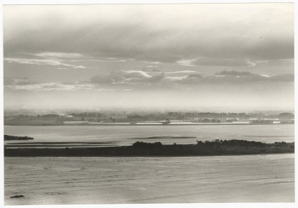
View across the estuary to central Christchurch
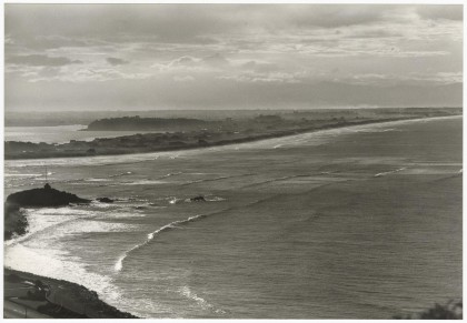
View from Clifton looking across to the tip of Southshore and ...
View across to Southshore and New Brighton
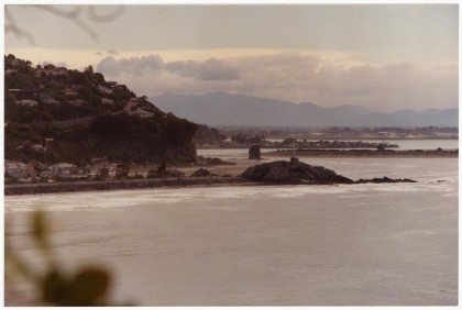
View from Sumner of Sumner Beach, Cave Rock and towards ...
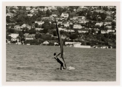
Windsurfer on the Estuary
View of windsurfers on the Estuary with views across to houses ...
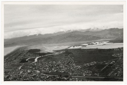
Aerial view of the Estuary looking over Bromley
Aerial view of the Estuary looking over Bromley the Avon River, ...
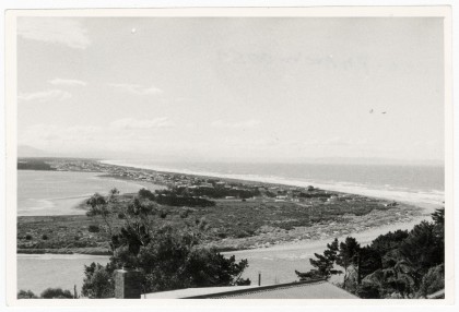
View towards Southshore
View from the hill at Clifton towards South Beach and Southshore ...
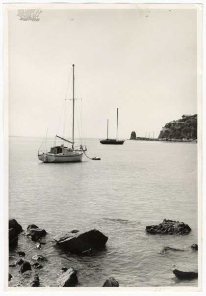
Yachts moored at Redcliffs
View of yachts moored at Redcliffs in Moncks Bay with Main Road ...
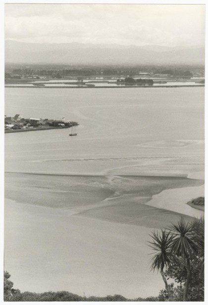
View over the Estuary towards Bromley
View from the hill at Clifton of Moncks Bay with the tip of ...
View from Scarborough Hill of Sumner beach
View from Scarborough Hill of Sumner beach and Cave Rock and on ...
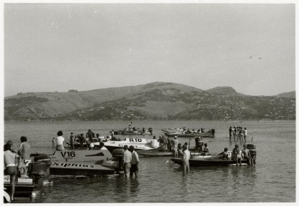
Powerboats in the Estuary
A group of powerboats docked in the Estuary near South New ...
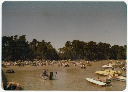
Powerboats in the Estuary
A large group of people on the beach at Pleasant Point at South ...
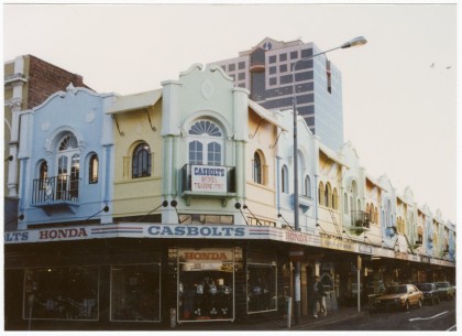
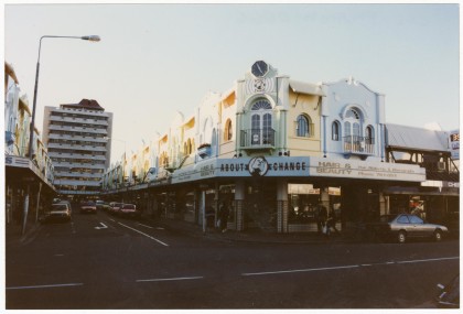
New Regent Street from Gloucester Street
View from the top of New Regent Street from the corner with ...
New Regent Street from Gloucester Street
View from the top of New Regent Street from the corner with ...
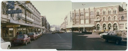
Panorama of High Street looking towards Madras Street
A panorama of High Street looking towards Madras Street from ...
Panorama of High Street
A panorama of High Street from Tuam Street looking towards the ...
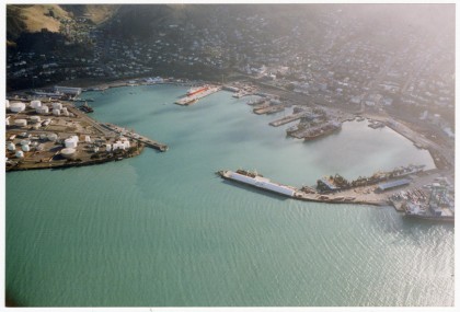
Aerial view of Lyttelton Harbour
Aerial view of Lyttelton Harbour and Lyttelton with ships docked ...
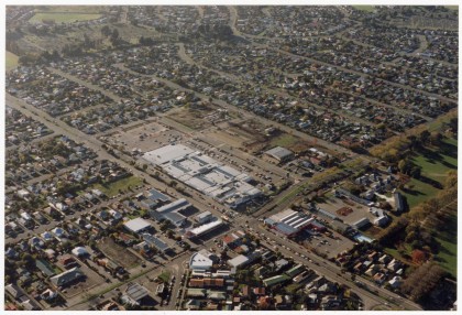
Aerial view of Eastgate Mall
Aerial view of Eastgate Mall along Linwood Avenue with Buckleys ...
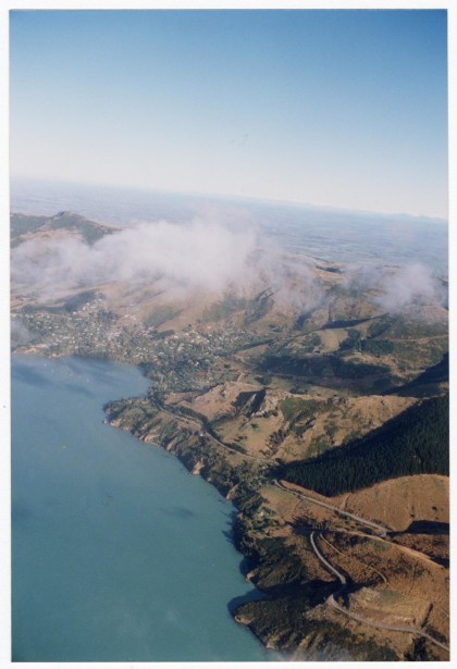
Aerial view towards Governors Bay
Aerial view of the Port Hills looking from Lyttelton along ...
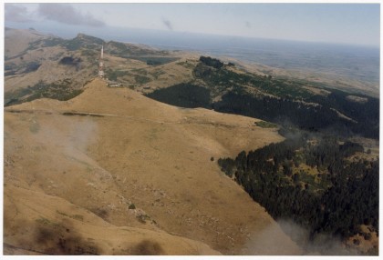
Aerial view of the Port Hills
Aerial view of the Sugarloaf communications tower on the Port ...
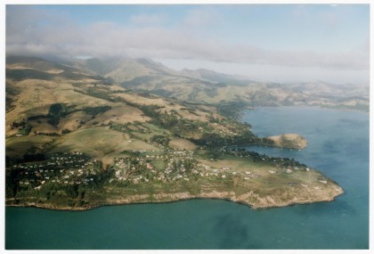
Aerial view of Diamond Harbour looking West
Aerial view of Diamond Harbour looking West towards Church Bay, ...
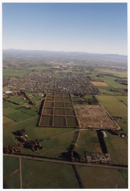
Aerial view of Halswell
Aerial view of Halswell looking towards the Waimakariri River ...
Aerial view looking towards the Port Hills
Aerial view looking towards the Port Hills and the Sugarloaf ...
Aerial view of Diamond Harbour and Purau
Aerial view of Diamond Harbour including the Diamond Harbour ...
