View down Gloucester Street, west towards Oxford Terrace
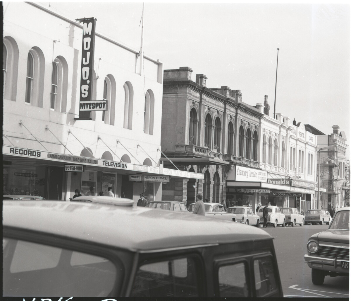
View down Gloucester Street, west towards Oxford Terrace
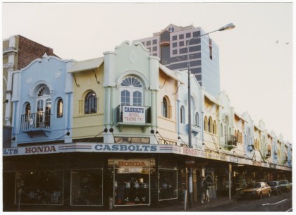
View of buildings on the southern side of Gloucester Street, towards Oxford Terrace. Visible businesses include Amalgamated Tele-Hire, Mojo's Nitespot, White Heron Travel, Holy Cross Chapel, Chancery Arcade, McDonald's Auction Rooms, Mutual Rental Cars and Maling & Co. Scaffolding is erected at the Maling & Co building, with labourers working on repairs. The street is busy, with vehicles parked and pedestrians crossing the road and walking along the footpath.
Contributors note: "Early 1970s street view looking west along Gloucester St towards Oxford Tce, (now occupied by the Te Pae Christchurch Conference Centre). Shows people on the street, crossing the road, cars, various buildings and shops, including Mojo’s Nitespot, Tele-hire, White Heron Travel, McDonald’s Auction room, entrance to Chancery Arcade, above on the first floor are balconies with planter boxes. This dark colour building is contrasted by the two lighter coloured buildings on either side, to the right the Mutual Rental Cars building, next to it, towards the far right of the photo, located on the corners of Gloucester and Oxford Street, is the Maling & Co building at 86 Gloucester St, shows two men in overalls, working on scaffolding, on the side of the building."
Report this entry
More from the same area
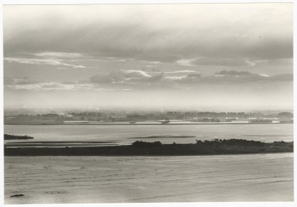
View across the estuary to central Christchurch
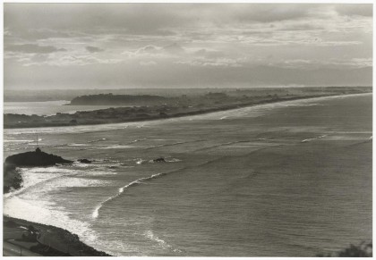
View from Clifton looking across to the tip of Southshore and ...
View across to Southshore and New Brighton
View from Sumner of Sumner Beach, Cave Rock and towards ...
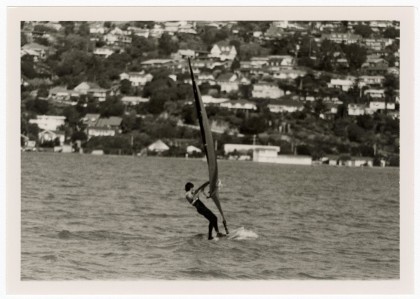
Windsurfer on the Estuary
View of windsurfers on the Estuary with views across to houses ...
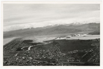
Aerial view of the Estuary looking over Bromley
Aerial view of the Estuary looking over Bromley the Avon River, ...
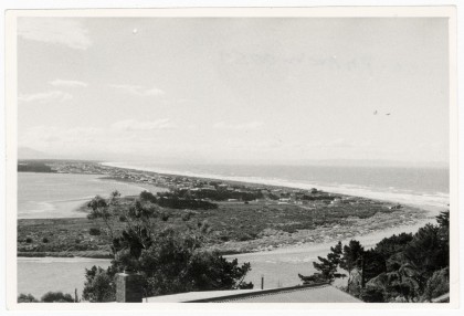
View towards Southshore
View from the hill at Clifton towards South Beach and Southshore ...
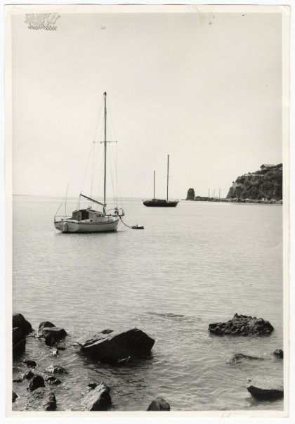
Yachts moored at Redcliffs
View of yachts moored at Redcliffs in Moncks Bay with Main Road ...
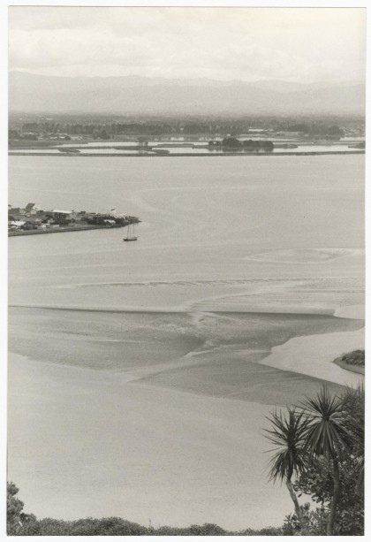
View over the Estuary towards Bromley
View from the hill at Clifton of Moncks Bay with the tip of ...
View from Scarborough Hill of Sumner beach
View from Scarborough Hill of Sumner beach and Cave Rock and on ...
Powerboats in the Estuary
A group of powerboats docked in the Estuary near South New ...
Powerboats in the Estuary
A large group of people on the beach at Pleasant Point at South ...
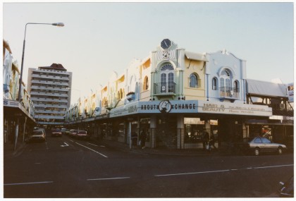
New Regent Street from Gloucester Street
View from the top of New Regent Street from the corner with ...
New Regent Street from Gloucester Street
View from the top of New Regent Street from the corner with ...
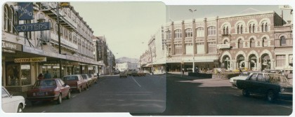
Panorama of High Street looking towards Madras Street
A panorama of High Street looking towards Madras Street from ...
Panorama of High Street
A panorama of High Street from Tuam Street looking towards the ...
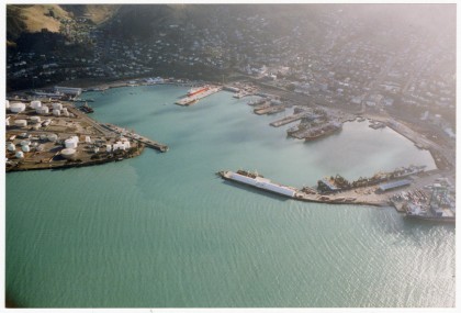
Aerial view of Lyttelton Harbour
Aerial view of Lyttelton Harbour and Lyttelton with ships docked ...
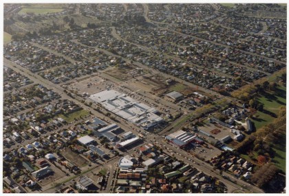
Aerial view of Eastgate Mall
Aerial view of Eastgate Mall along Linwood Avenue with Buckleys ...
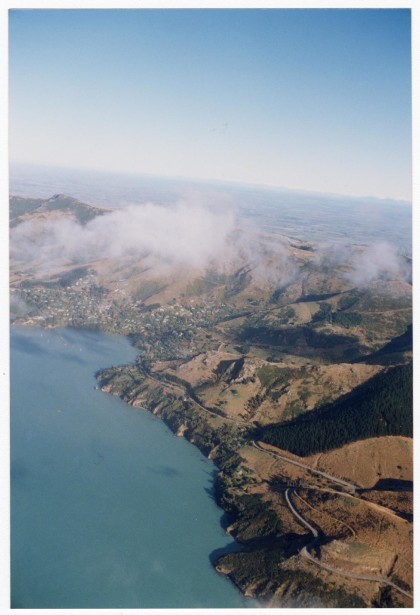
Aerial view towards Governors Bay
Aerial view of the Port Hills looking from Lyttelton along ...
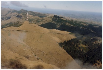
Aerial view of the Port Hills
Aerial view of the Sugarloaf communications tower on the Port ...
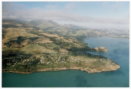
Aerial view of Diamond Harbour looking West
Aerial view of Diamond Harbour looking West towards Church Bay, ...
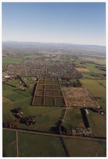
Aerial view of Halswell
Aerial view of Halswell looking towards the Waimakariri River ...
Aerial view looking towards the Port Hills
Aerial view looking towards the Port Hills and the Sugarloaf ...
Aerial view of Diamond Harbour and Purau
Aerial view of Diamond Harbour including the Diamond Harbour ...
