Path of the tornado through Halswell
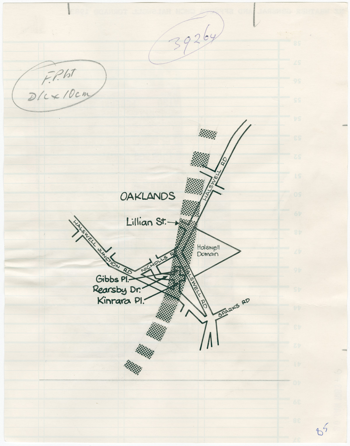
Path of the tornado through Halswell
A hand-drawn map showing the path of the tornado through Halswell, passing over Halswell Road and along the edge of Halswell Domain. The black tongue of the tornado touched the ground for a strip about 500m long and less than 100m wide as it passed over Halswell.
Report this entry
More from the same area
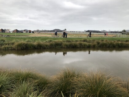
Quaife's Rd Wetland
This is a man-made wetland for flood protection. During lockdown ...
Wolf in the queue
A wolf joins the queue for a contactless pick-up from Steviez ...
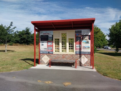
Mount Magdala shelter at McMahon Reserve
Shelter at McMahon Reserve built using material from farm ...
McMahon Reserve Mount Magdala shelter
Shelter at McMahon Reserve built using material from farm ...
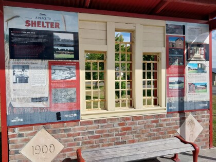
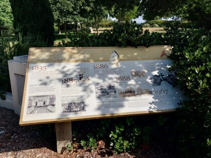
Mount Magdala interpretation board
Interpretation board for the former Mount Magdala home at the ...
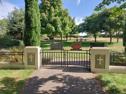
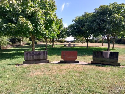
Mount Magdala Cemetery gates
Gates at the entrance to Mount Magdala Cemetery in Aidanfield.
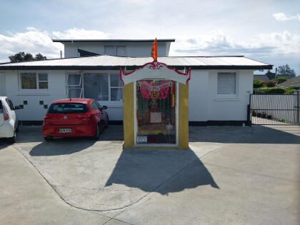
Lord Buddha at Vesak Bathi Gee Pooja
Statue of Lord Buddha and a display of the newborn Buddha at the ...
Bathi Gee by Samadhi Vihara Devotees
Bathi Gee (devotional songs to Lord Buddha) by the Samadhi ...
Colourful Christchurch
Contributor's note: "Took this photo near Halswell quarry park. ...
Womens Vantage Blacksticks versus Australian Hockeyroos
View of the Australian and New Zealand women's hockey teams ...
Men's Vantage Blacksticks versus Australian Kookaburras
View of the Australian and New Zealand men's hockey teams ...
Winter morning after a flood in Halswell
Winter morning in Halswell, with floodwater pooling in the ...
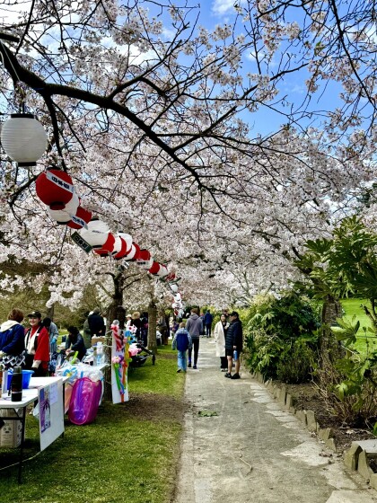
Japanese Society Hanami picnic
Japanese Sakura Picnic at the Kurashiki Garden at Halswell ...
