Aerial View of Dallington in the 1940s,
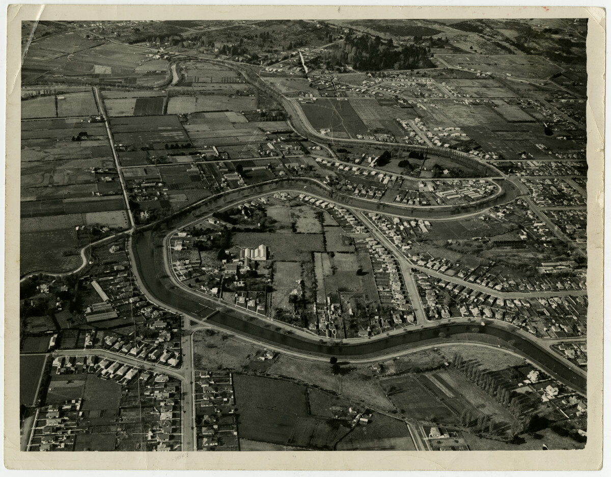
Aerial View of Dallington in the 1940s,
1940s view of the Avonside Drive area. Torlesse Street newly built; Porrit Park top left (in loop of river) with Wainoni Road running behind it. We (mother, pram and three children) used to walk up Bealey Avenue from St Albans, along Retreat Road to visit friends in Torlesse Street.
Report this entry
More from the same area
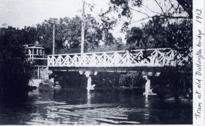
Tram at terminus of old Dallington Bridge
1913. Dallington bridge spans the Avon River at the end of ...
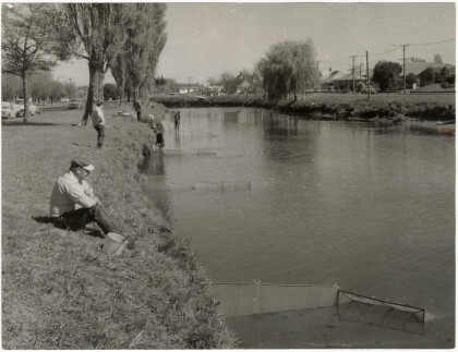
Whitebait nets in the Avon
Whitebaiters with nets in the Avon River in the vicinity of ...
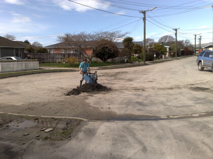
Shifting Liquefaction CHCH Quake
Helping Grandparents Clean up after Christchurch Earthquake in ...
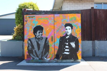
Distranged Design utility box - Gayhurst Road
Chorus utility box stencil and paint by Distranged Design, aka ...
The Most Wuthering Heights Day Ever
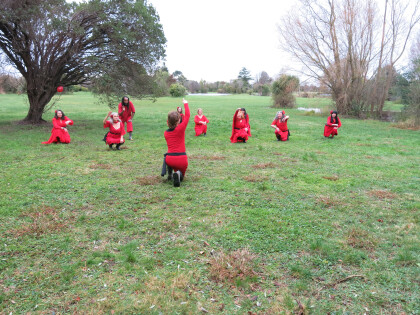
The Most Wuthering Heights Day Ever on Saturday 30 July - Kate ...
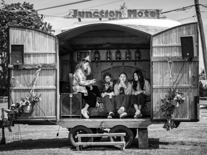
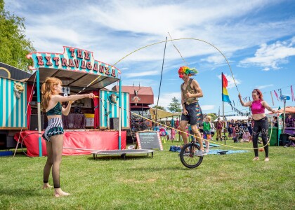
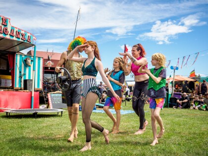
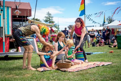
Chillin at the The Extravaganza Fair
View of teenagers sitting in a cart at The Extravaganza Fair in ...
Dylan Daisy's Magic Show
Dylan Daisy Ashton performing magic tricks at The Extravaganza ...
Daddy Ashton With Pooches
Daddy Ashton relaxing with the pooches during Dylan Daisy's ...
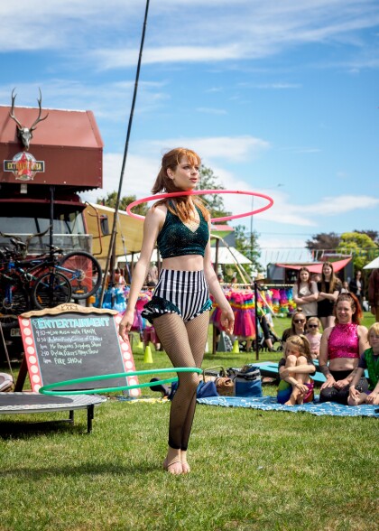
Dylan Daisy with two hula hoops
Dylan Daisy Ashton dances with two hula hoops performing with ...
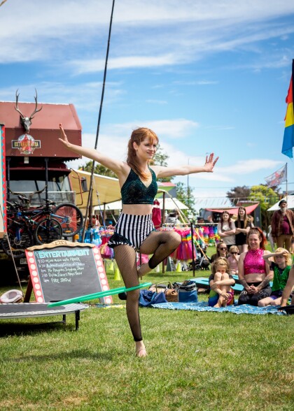
Dylan Daisy balancing with a hula hoop
Dylan Daisy Ashton balancing with a hula hoop on one leg ...
Daddy Ashton jumping rope on a unicycle
Daddy Ashton jumps rope (swung by Dylan Daisy Ashton and Mummy ...
Pretending to drive the car
The Ashton Family Circus pretending to drive a car on holiday at ...
Caricature of digital children
A comical skit by The Ashton Family Circus making fun of ...
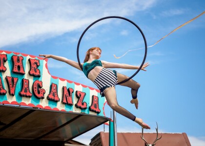
Dylan Daisy Ashton on the Lyra
Dylan Daisy Ashton performing on the Lyra at The Extravaganza ...
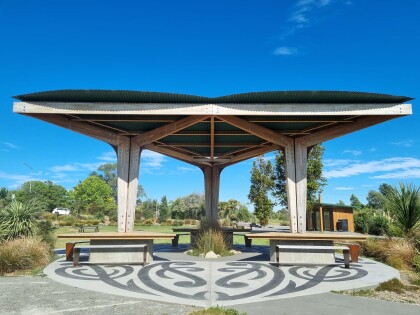
Dallington Landing shelter
The shelter at Dallington Landing near Dallington bridge.
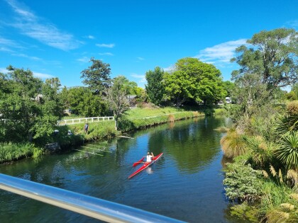
Whitebaiter and kayaker by Dallington bridge
Taken from Dallington bridge. A man is fishing, presumably for ...
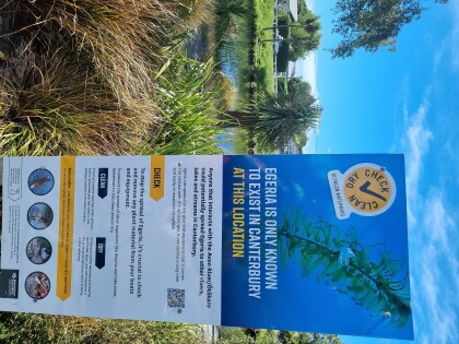
Egeria warning at Dallington Landing
A warning about the risk of spreading the invasive water weed ...
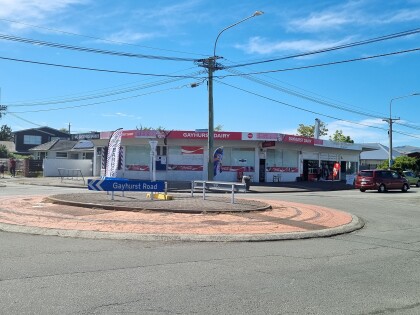
Gayhurst Dairy and roundabout
Gayhurst roundabout in the foreground with Gayhurst Dairy, WG ...
Avon river where River Road turns into Mcbratneys Road
A photo of the Avon river. Taken from where River Road becomes ...
Avon trubitary beside Banks Avenue
Photo taken from the small bridge over a tributary to the Avon ...
