Content tagged as
1 - 13 of 13 Search results
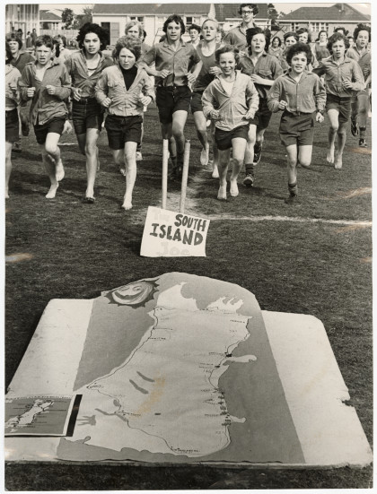
Kirkwood Intermediate School running programme
Students running on the field at Kirkwood Intermediate School as ...
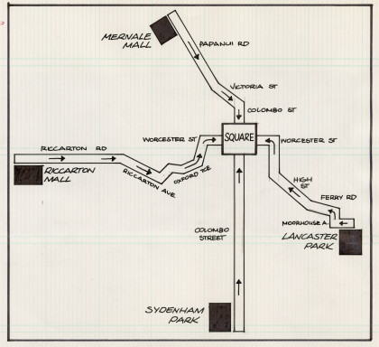
Map of the Springbok tour protest march
Hand-drawn map of the Springbok tour protest march routes all ...
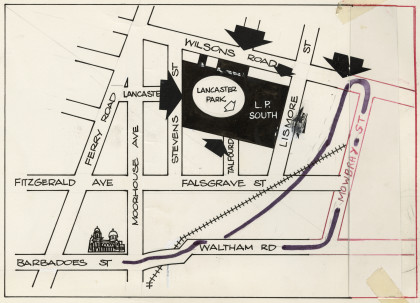
Map of the Springbok tour protest route
Hand-drawn map of the route taken by protesters against the ...
Floral Parade route map
Hand drawn map of the route of the Christchurch Festival floral ...
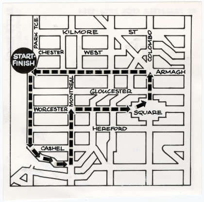
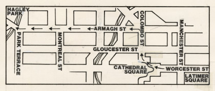
Route of Christchurch's first Peace Festival parade
Map of the 1983 Peace Festival parade route, from Cathedral ...
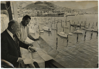
Search and rescue exercise planning
Mr B.R. Walker (left) chairman of the marine search and rescue ...
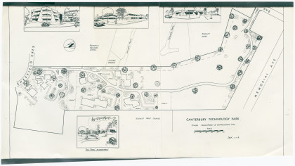
Plan of Canterbury Technology Park
Architects plan of Canterbury Technology Park marking Memorial ...
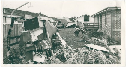
Damage to property caused by the Halswell tornado
Damage to property caused by the Halswell tornado. The tornado ...
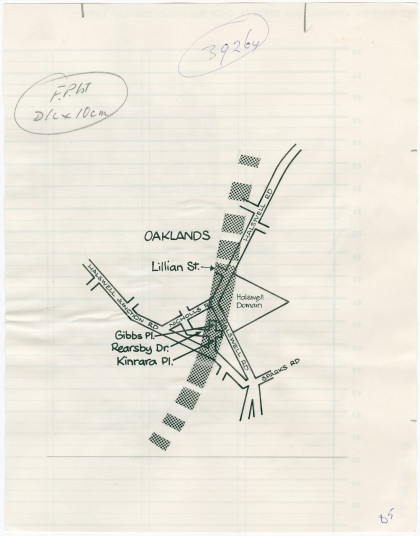
Path of the tornado through Halswell
A hand-drawn map showing the path of the tornado through ...
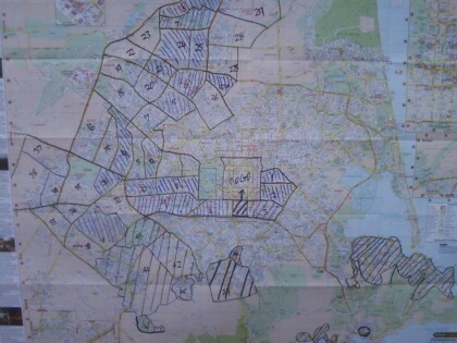
Map of Christchurch City Showing Areas Covered by Operation West (West Christchurch Welfare Operation)
From 25 February 2011 for a period of nearly two weeks hundreds ...
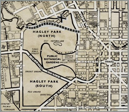
North Hagley Park motorway
Map showing the proposed motorway route through North Hagley ...
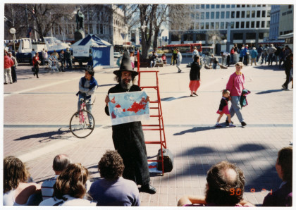
Victoria Square bilingual map
Bilingual map of Victoria Square near the Armagh Street ...
