Map of Christchurch City Showing Areas Covered by Operation West (West Christchurch Welfare Operation)
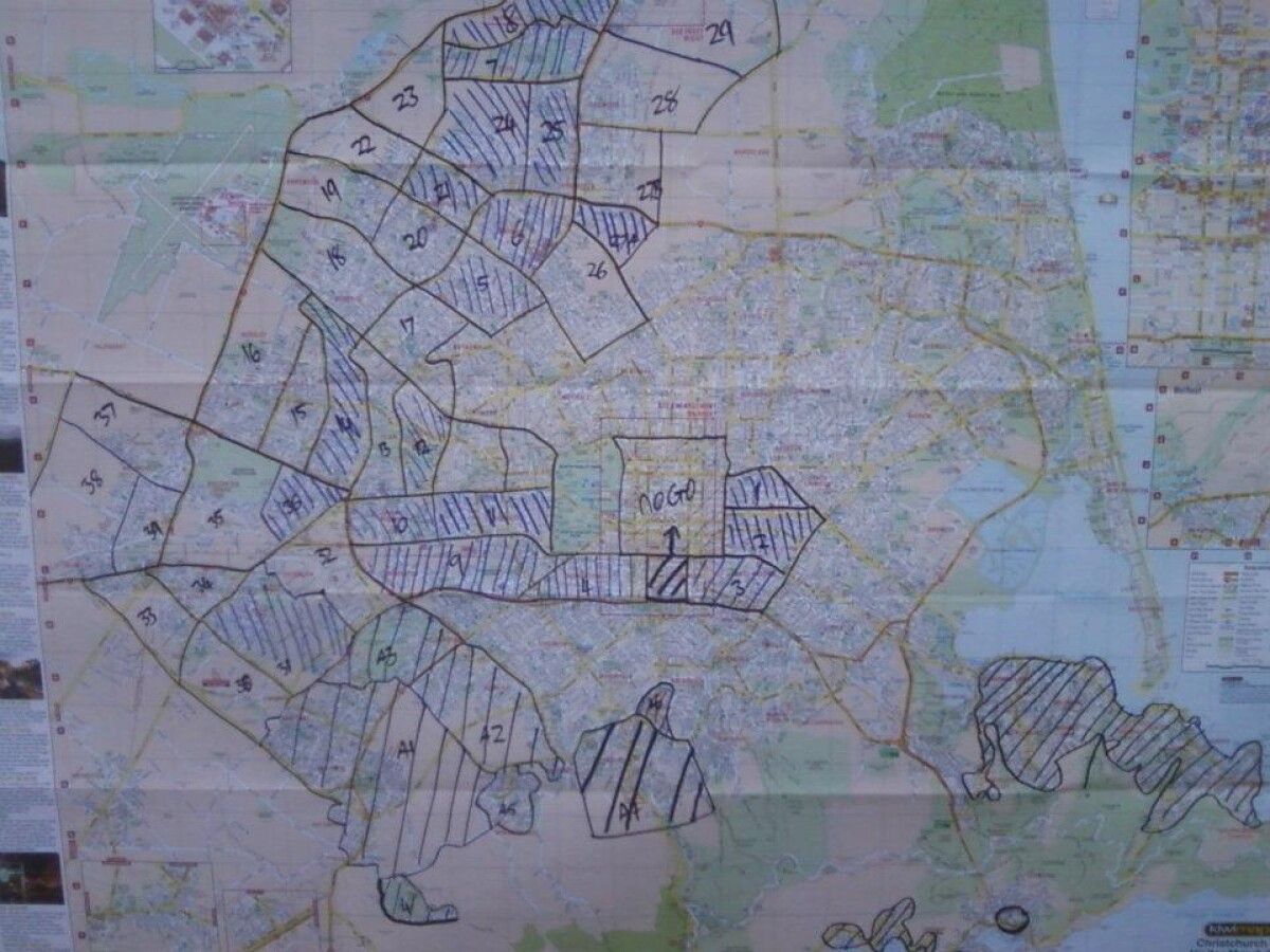
Map of Christchurch City Showing Areas Covered by Operation West (West Christchurch Welfare Operation)
From 25 February 2011 for a period of nearly two weeks hundreds of emergency response volunteers ran "Operation West" - a welfare operation aiming to visit every household in western Christchurch to check on residents and gather information about the state of the city. In that time more than 70,000 households were visited by LandSAR staff supported by Amateur Radio Emergency Communications (AREC) providing radio communications. The operation was based at Halswell Domain. This photo shows the map of Christchurch used to keep track of which parts of the city had been covered.
Report this entry
More from the same area
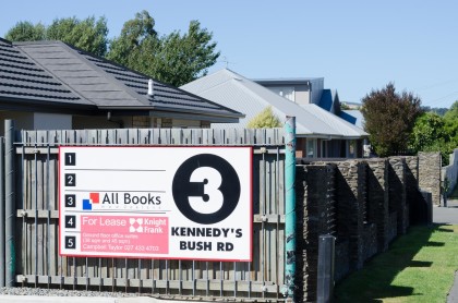
Sign for a block of shops at 3 Kennedys Bush Road
Close-up of a sign advertising retail spaces at 3 Kennedys Bush ...
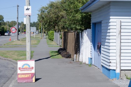
Halswell Family Dairy, Halswell Road
Street scene and sign outside Halswell Family Dairy on Halswell ...
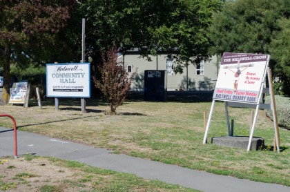
Signs outside the Halswell Community Hall
Signs outside the Halswell Hall including an advertisement for ...
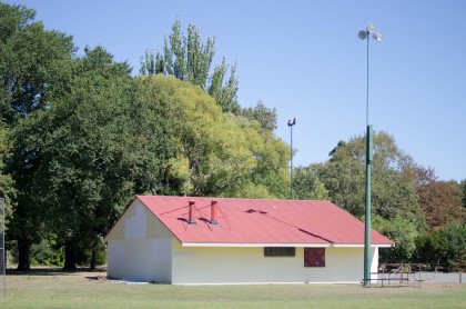
Hornets store room at Halswell Domain
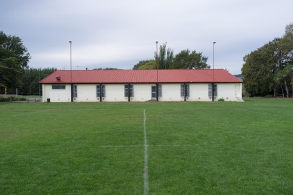
Exterior of the Hornets store room in Halswell Domain, Halswell.
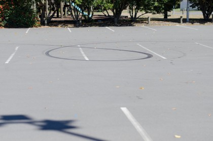
Tire marks in the Halswell Domain car park
Close-up of tire marks in the Halswell Domain car park, ...
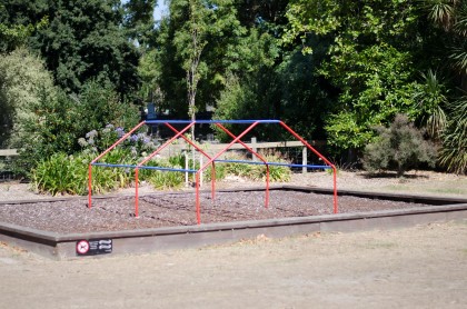
Climbing frame at Halswell Domain
View of a climbing frame at Halswell Domain, Halswell.
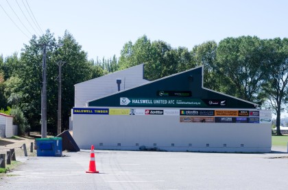
Halswell United club rooms at Halswell Domain
Exterior side of the Halswell United club rooms in Halswell ...
Set lights outside a house at Wigram Skies
Set lights outside house for commercial being shot inside a ...
Apartments under construction at Wigram Skies
Exterior of apartments under construction and covered in ...
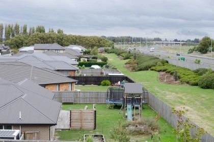
Southern motorway running next to Aidanfield subdivision
View of the southern motorway running next to Aidanfield ...
Musgroves from Aidanfield Drive overbridge
View north over Musgroves from Aidanfield Drive overbridge.
Aidanfield Drive street sign
Street sign by the southern motorway for Aidanfield Drive ...
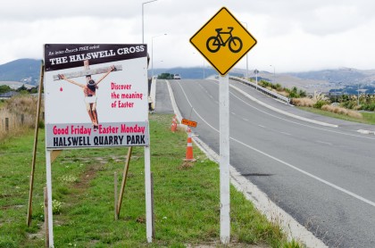
The Halswell Cross advertising on Aidanfield Drive
View of The Halswell Cross advertising on Aidanfield Drive ...
Southern motorway running alongside Aidanfield subdivision
View of the southern motorway running alongside the Aidanfield ...
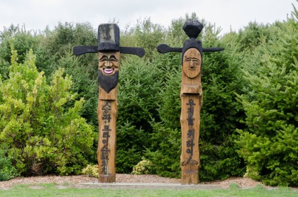
Sculptures at Halswell Quarry park
View of Wood-carved Korean guardian pole sculptures at Halswell ...
Halswell United club rooms at Halswell Domain
Exterior of the Halswell United club rooms in Halswell Domain.
Gravestones at the Halswell Cemetery
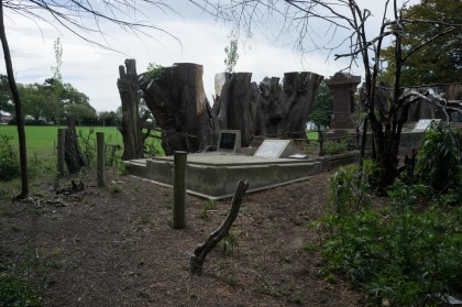
View of gravestones next to rugby field in Halswell Cemetery ...
Roundabout at Highcrest Heights Westmorland
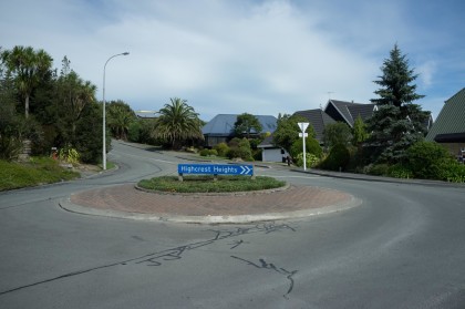
Roundabout at Highcrest Heights and Penruddock Rise ...
Westmorland overlooking farmland
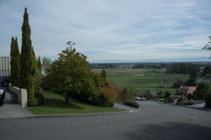
View looking west down Ennerdale Row in Westmorland overlooking ...
Highcrest Heights, Westmorland
Looking north up Highcrest Heights from outside 21 Highcrest ...
Westmorland subdivision
View across the Westmorland subdivision looking northeast over ...
Halswell Indoor Bowls Club
Close-up of the Halswell Indoor Bowls Club draw board at the ...

