Map of Christchurch City Showing Areas Covered by Operation West (West Christchurch Welfare Operation)
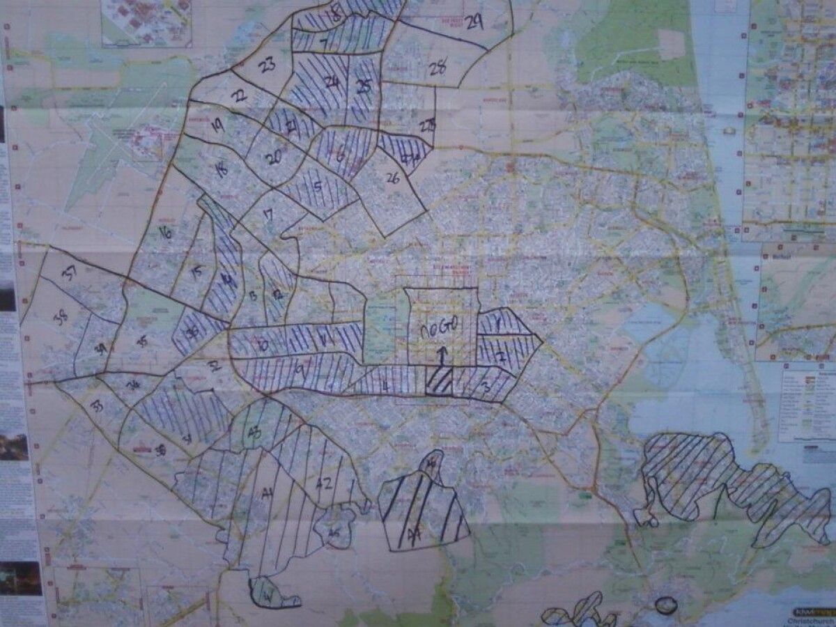
Map of Christchurch City Showing Areas Covered by Operation West (West Christchurch Welfare Operation)
From 25 February 2011 for a period of nearly two weeks hundreds of emergency response volunteers ran "Operation West" - a welfare operation aiming to visit every household in western Christchurch to check on residents and gather information about the state of the city. In that time more than 70,000 households were visited by LandSAR staff supported by Amateur Radio Emergency Communications (AREC) providing radio communications. The operation was based at Halswell Domain. This photo shows the map of Christchurch used to keep track of which parts of the city had been covered.
Report this entry
More from the same area
Quaife's Rd Wetland
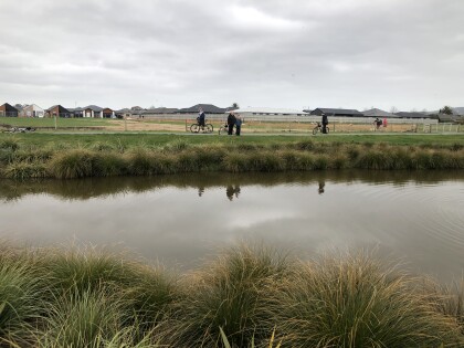
This is a man-made wetland for flood protection. During lockdown ...
Wolf in the queue
A wolf joins the queue for a contactless pick-up from Steviez ...
Mount Magdala shelter at McMahon Reserve
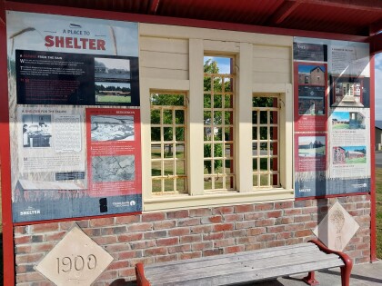
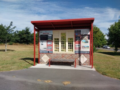
Shelter at McMahon Reserve built using material from farm ...
McMahon Reserve Mount Magdala shelter
Shelter at McMahon Reserve built using material from farm ...
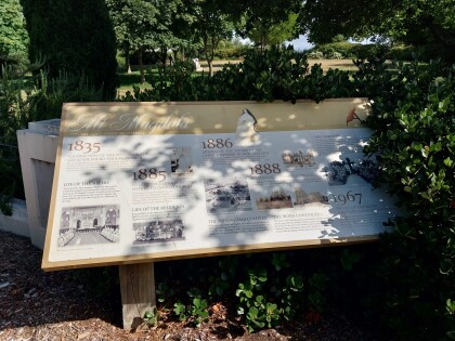
Mount Magdala interpretation board
Interpretation board for the former Mount Magdala home at the ...
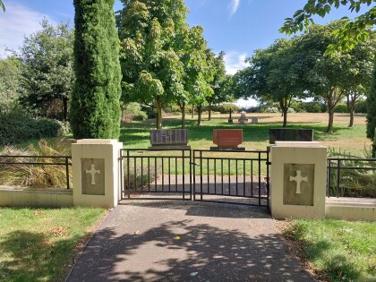
Mount Magdala Cemetery gates
Gates at the entrance to Mount Magdala Cemetery in Aidanfield.
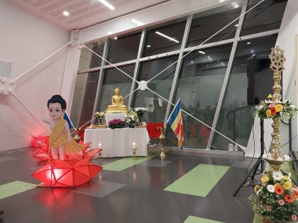
Lord Buddha at Vesak Bathi Gee Pooja
Statue of Lord Buddha and a display of the newborn Buddha at the ...
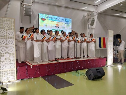
Bathi Gee by Samadhi Vihara Devotees
Bathi Gee (devotional songs to Lord Buddha) by the Samadhi ...
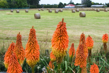
Colourful Christchurch
Contributor's note: "Took this photo near Halswell quarry park. ...
Womens Vantage Blacksticks versus Australian Hockeyroos
View of the Australian and New Zealand women's hockey teams ...
Men's Vantage Blacksticks versus Australian Kookaburras
View of the Australian and New Zealand men's hockey teams ...
Winter morning after a flood in Halswell
Winter morning in Halswell, with floodwater pooling in the ...
Japanese Society Hanami picnic
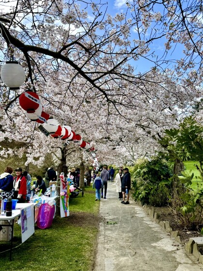
Japanese Sakura Picnic at the Kurashiki Garden at Halswell ...

