Map of Christchurch City Showing Areas Covered by Operation West (West Christchurch Welfare Operation)
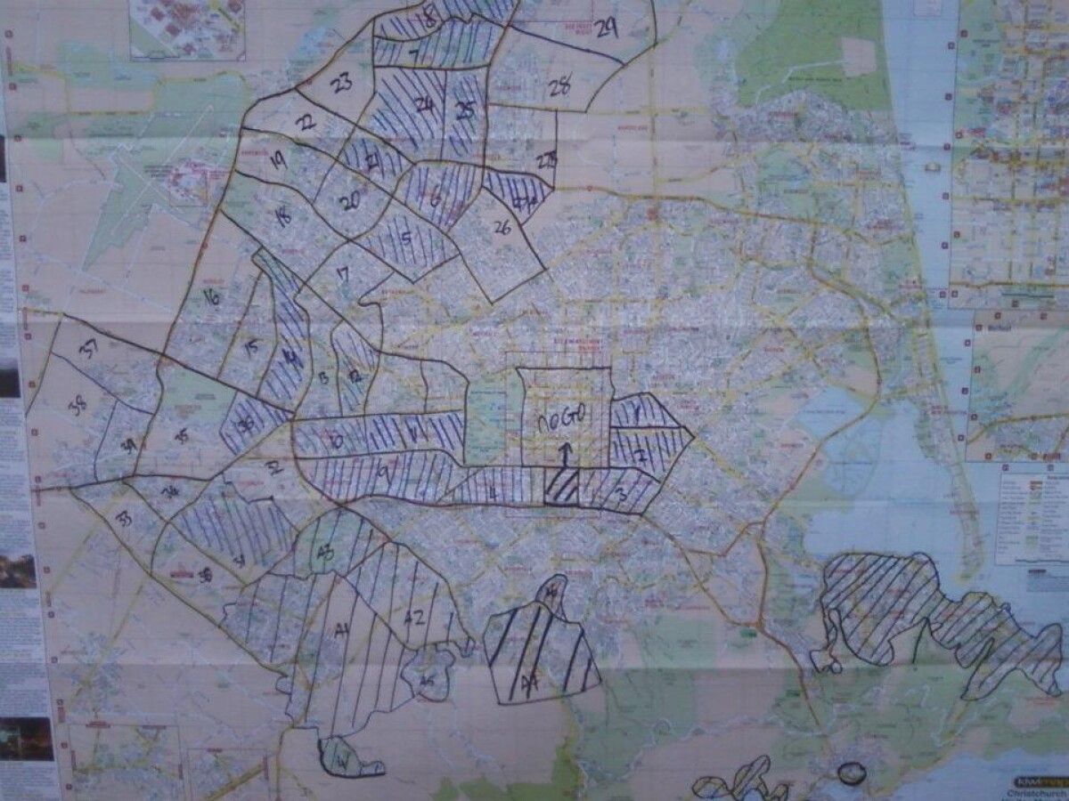
Map of Christchurch City Showing Areas Covered by Operation West (West Christchurch Welfare Operation)
From 25 February 2011 for a period of nearly two weeks hundreds of emergency response volunteers ran "Operation West" - a welfare operation aiming to visit every household in western Christchurch to check on residents and gather information about the state of the city. In that time more than 70,000 households were visited by LandSAR staff supported by Amateur Radio Emergency Communications (AREC) providing radio communications. The operation was based at Halswell Domain. This photo shows the map of Christchurch used to keep track of which parts of the city had been covered.
Report this entry
More from the same area
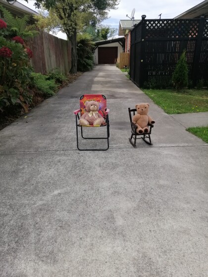
Teddies in the driveway
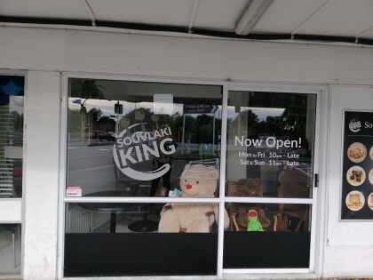
Teddies on guard in a driveway in Kennedys Bush Road, Halswell. ...
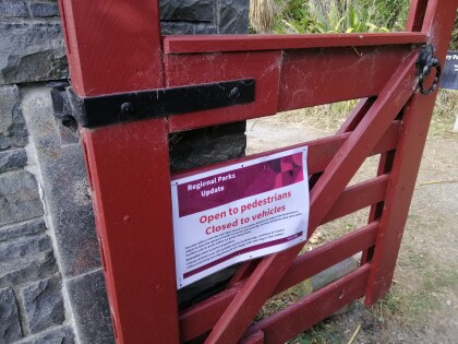
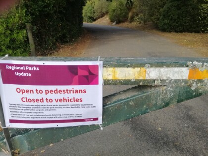
Corona virus warning at Halswell Quarry
Corona virus warning on the gate at Halswell Quarry.
Corona virus warning at Halswell Quarry
Corona virus warning at the entrance to Halswell Quarry.
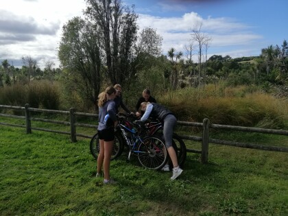
Getting some fresh air
Family out for a bike ride and walk and fresh air at Halswell ...
Halswell School lockdown
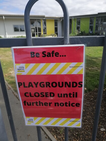
Unite against COVID-19 sign on the gate at Halswell School - "Be ...
Playground under lockdown
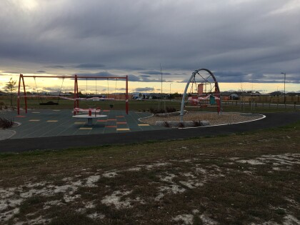
A deserted, cordoned-off playground in an empty Halswell ...
Poppies at the Quarry
A homemade poppy on the gate the entrance to Halswell Quarry ...

