Map of Christchurch City Showing Areas Covered by Operation West (West Christchurch Welfare Operation)
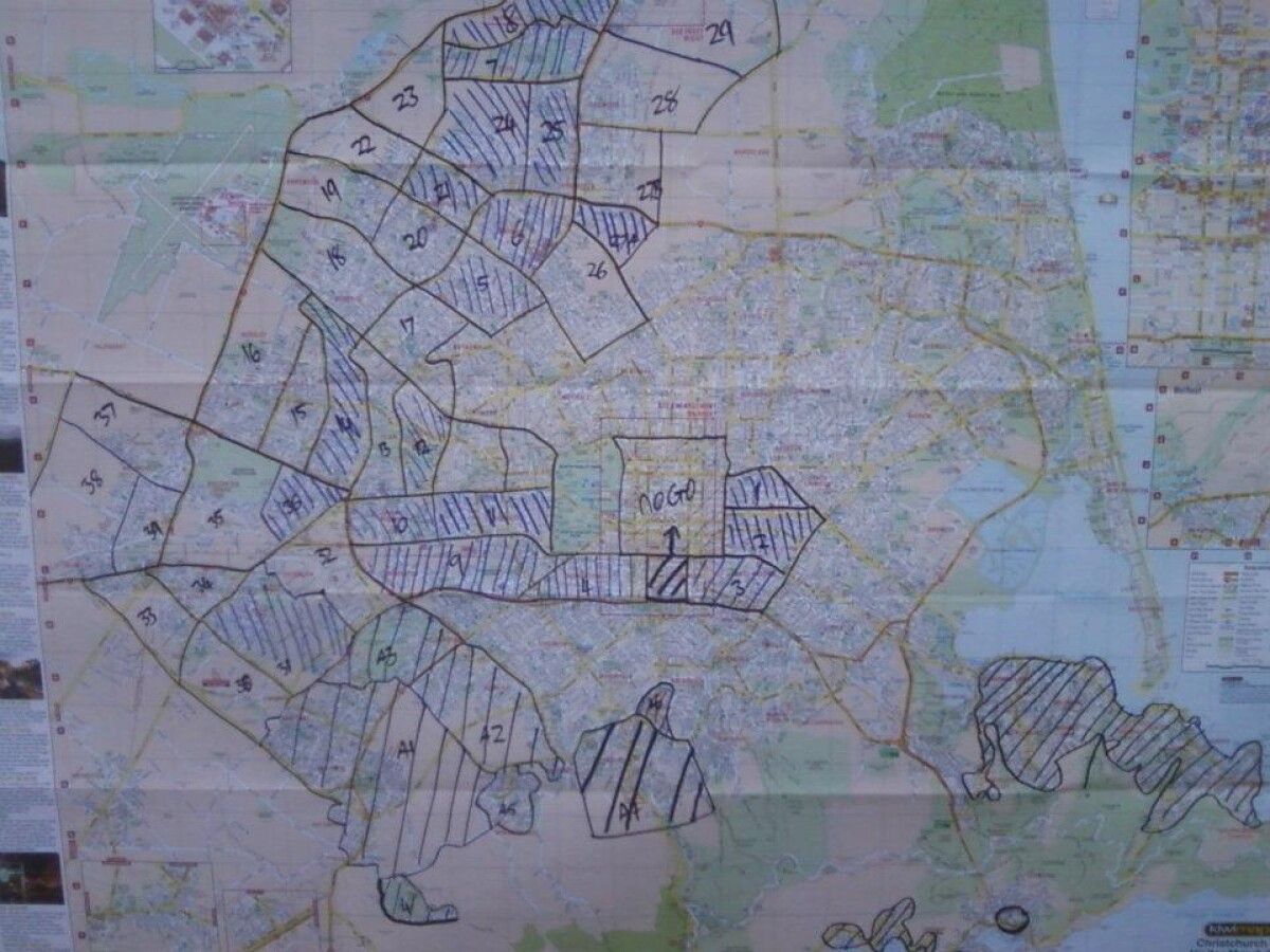
Map of Christchurch City Showing Areas Covered by Operation West (West Christchurch Welfare Operation)
From 25 February 2011 for a period of nearly two weeks hundreds of emergency response volunteers ran "Operation West" - a welfare operation aiming to visit every household in western Christchurch to check on residents and gather information about the state of the city. In that time more than 70,000 households were visited by LandSAR staff supported by Amateur Radio Emergency Communications (AREC) providing radio communications. The operation was based at Halswell Domain. This photo shows the map of Christchurch used to keep track of which parts of the city had been covered.
Report this entry
More from the same area
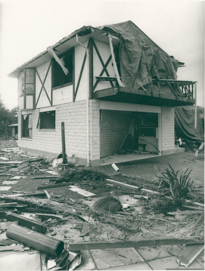
Tornado damage to a house in Halswell
Damage to the exterior of a Halswell house at 8 Kinrana Place ...
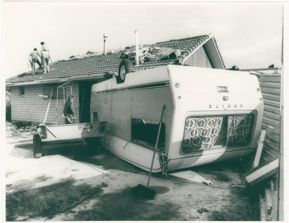
Caravan damaged by tornado, Halswell
Caravan left upside down and smashed into a house, caused by the ...
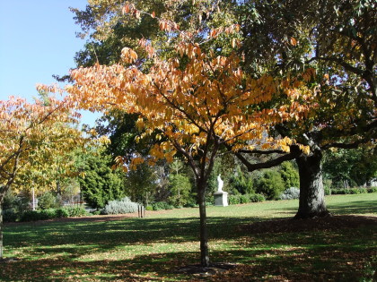
Grounds at St John of God
Statue of Mary amongst the tress on the grounds at St John of ...
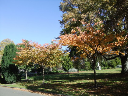
Grounds at St John of God
Statue of Mary amongst the tress on the grounds at St John of ...
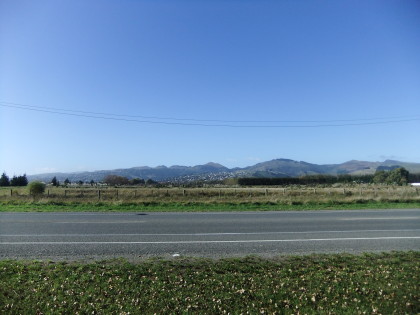
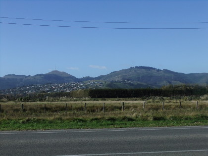
View up to Westmoreland and the Port Hills from Halswell Road
View up to Westmoreland and the Port Hills from Halswell Road
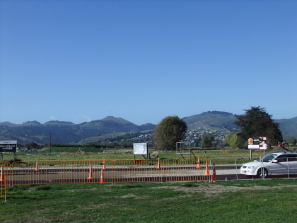
New subdivision on Halswell Road
Construction at Halswell Commons, a new subdivision on Halswell ...
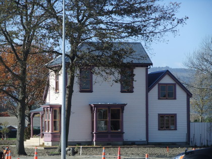
New subdivision on Halswell Road
Construction at Halswell Commons, a new subdivision on Halswell ...
New subdivision on Halswell Road
Construction at Halswell Commons, a new subdivision on Halswell ...
New subdivision on Halswell Road
Construction at Halswell Commons, a new subdivision on Halswell ...
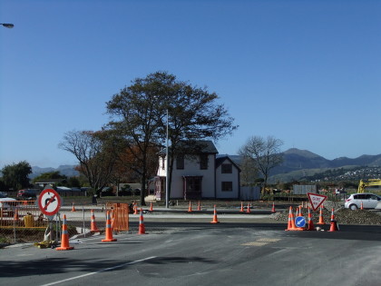
Road works for new subdivision on Halswell Road
Construction at Halswell Commons, a new subdivision on Halswell ...
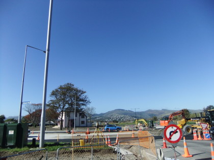
New subdivision on Halswell Road
Construction at Halswell Commons, a new subdivision on Halswell ...

